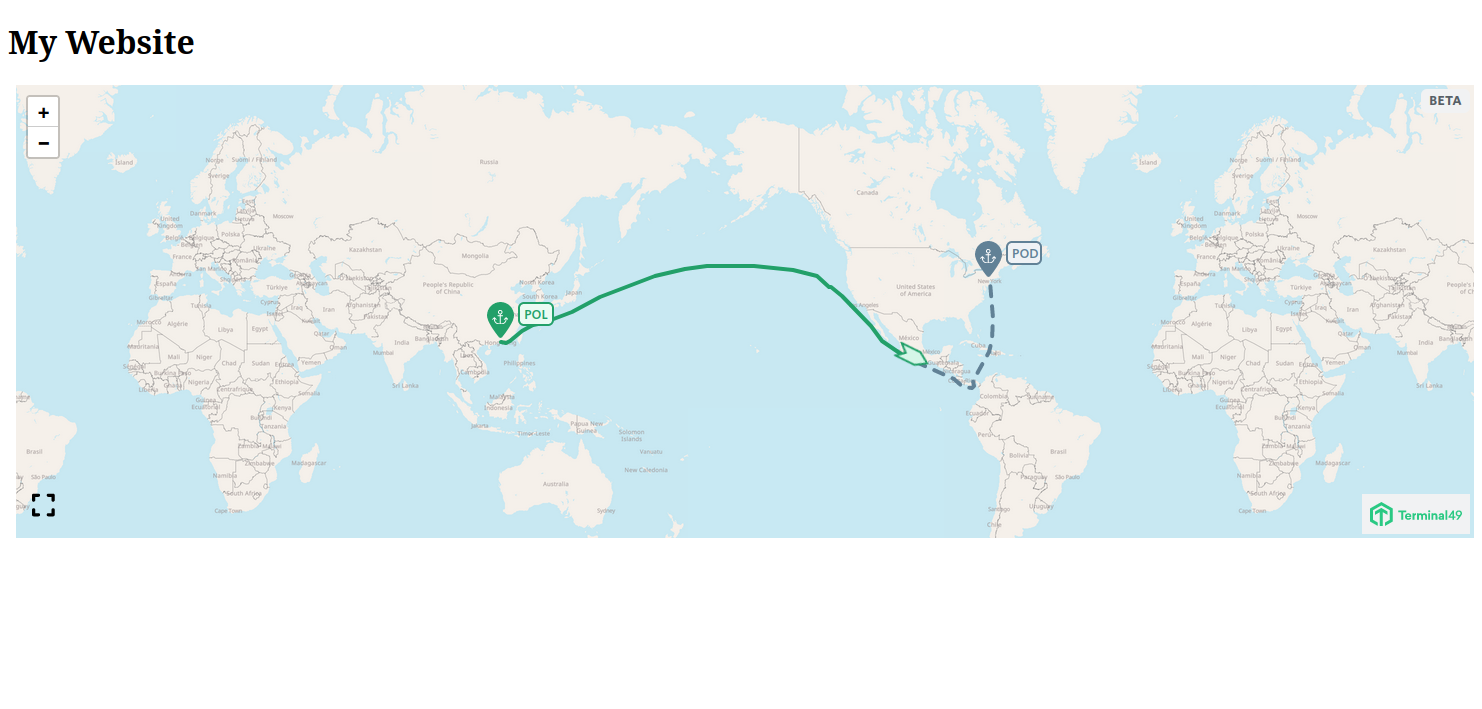
Prerequisites
- A Terminal49 account.
- A Publishable API key, you can get one by reaching out to us at [email protected].
- Familiarity with our Shipments API and Containers API.
In the following examples we’ll be passing a
containerIdandshipmentIdvariables to the embedded map. They relate toidattributes of the container and shipment objects that are returned by the API.
How do I embed the map on my website?
Once you have the API Key, you can embed the map on your website.- Copy and paste the code below and insert it on your website.
Once loaded, this will make the map code available through the global
windowobject.
</head> tag, add the following link tag to load the map styles.
</body> tag, add the following script tag to load the map code.
- Define a container where you want the map to be displayed.
- After the code is loaded, you can use the
window.TntMapclass to create a map instance.
authToken option is required. This is where you pass your Publishable API key.
- Start the map. This tells the map to initialize and hook into the element designated during initialization.
- Final step: load a container. You can pass shipment and container ids to the map where it’ll fetch the data and display it.
- Putting it all together, here is the javascript code that you need to embed the map on your website.

Styling the map
All of the map styles are written as human-readable CSS classes and variables. You can used those to customize the map to your liking. The styles are written in BEM style as well as they’re scoped under a.tntm class to avoid style conflicts with your website.
Sizing
By default the map will take the full width of its container and some height. The map is expandable by clicking on the expand button on the bottom left corner of the map. You can also override the default styles to customize the map to your liking. Let’s say you want to tell the map to take 60% of the total viewport size when expanded, we’d do this as follows:
Colors
We expose a number of CSS variables that you can use to customize the map colors. All of the variables are bound to the.tntm class to avoid style conflicts with your website.
--marker variants instead.
Additionally the variables might require adjusting for different states of the map markers.
What does that mean?
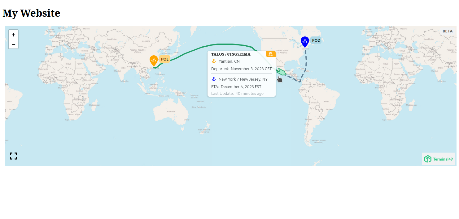
Let’s say we want to display markers ‘visited’ by a vessel as orange and the others - that we call are in ‘on-the-way’ state as blue.
First let’s define the default, blue color:
